Short Colorado Overland Adventure
Posted: Mon Jul 06, 2015 6:14 am
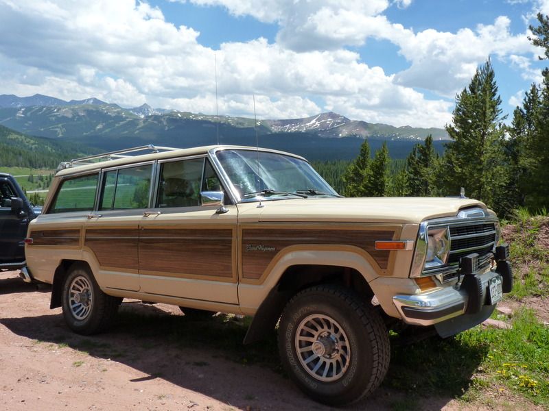
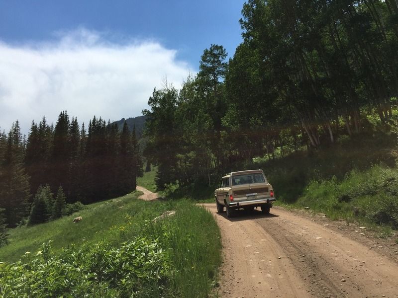
This past weekend, I took the Waggy out on another little adventure with a few friends. We started in Frisco and headed up Shrine Pass. The trail is pretty easy but the scenery was beautiful.
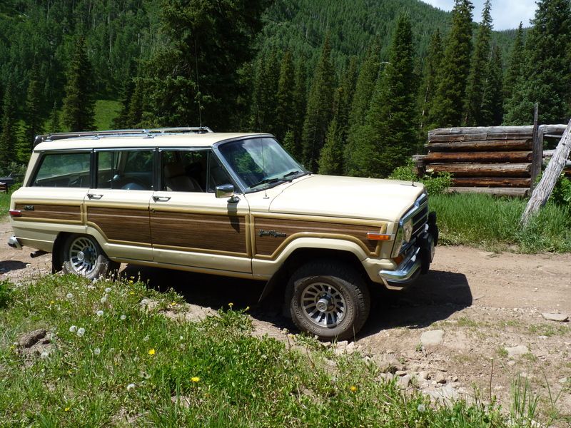
After a half hour or so, we stopped for lunch here:
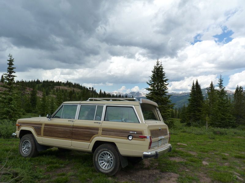
You couldn't beat the view!
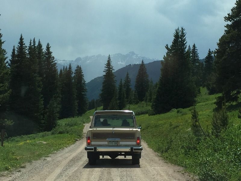
After lunch we continued down the trail. Soon we reached the peak of just over 11,000 ft and began to drop into a lush valley. The view straight ahead was of Mt. Holy Cross most of the way. It was amazing.
As we lost more elevation, the scenery was a mix of Aspen trees, pine and wild flowers. Most of the route ran next to Turkey Creek.
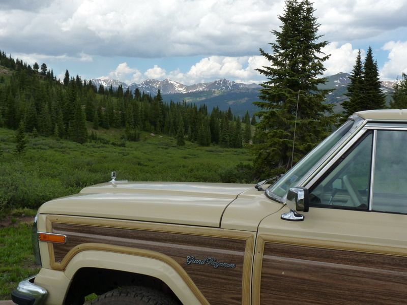
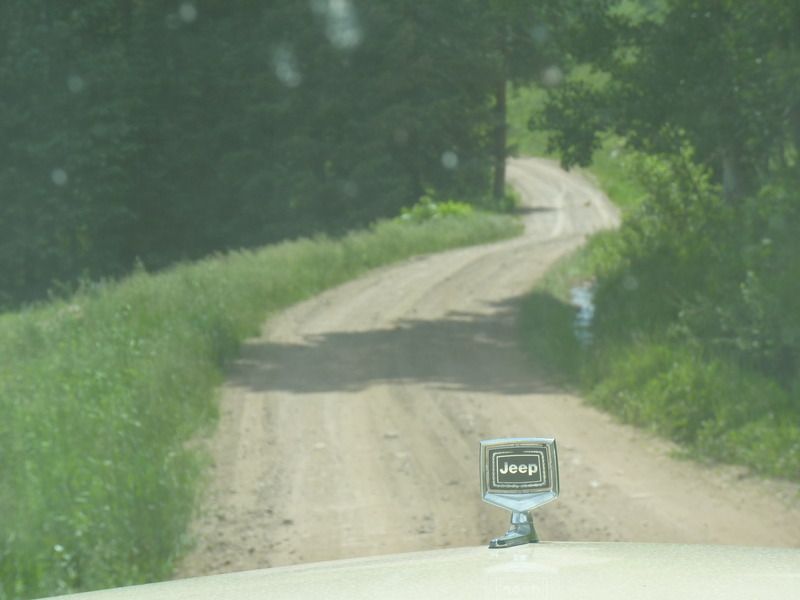
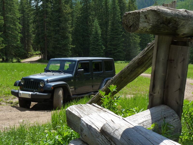
Jeep hood ornament looking cool through the windshield:
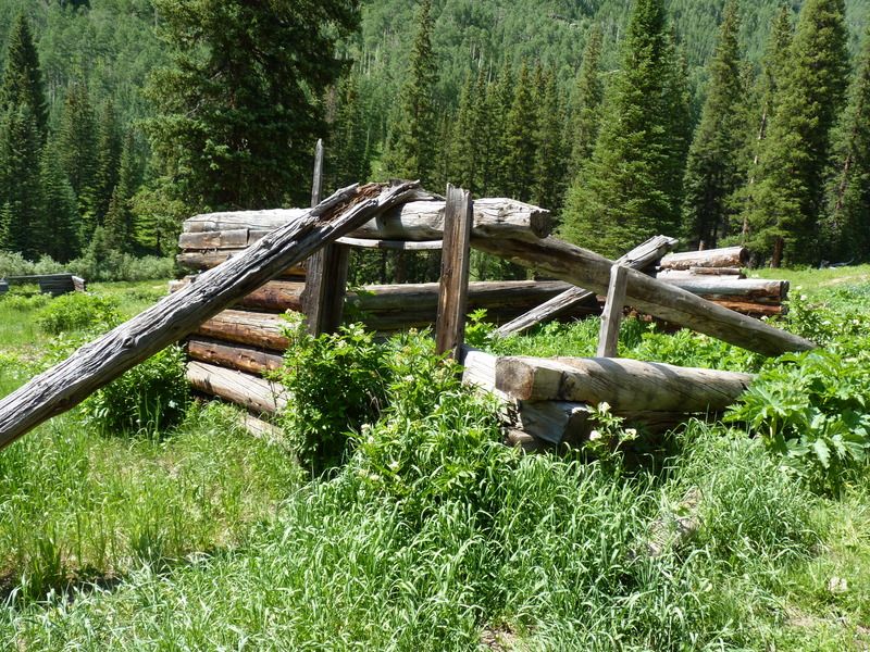
After travelling for a number of miles, I spotted an old structure off to the left:
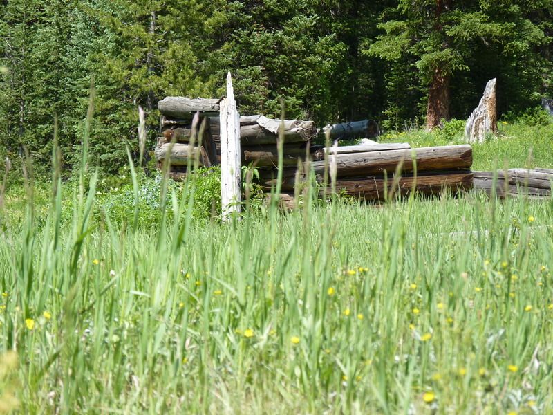
So, we all hopped out to investigate.
It looked like there were a couple old cabin ruins with a two track road leading to them. So, we drove up and took a few pictures.
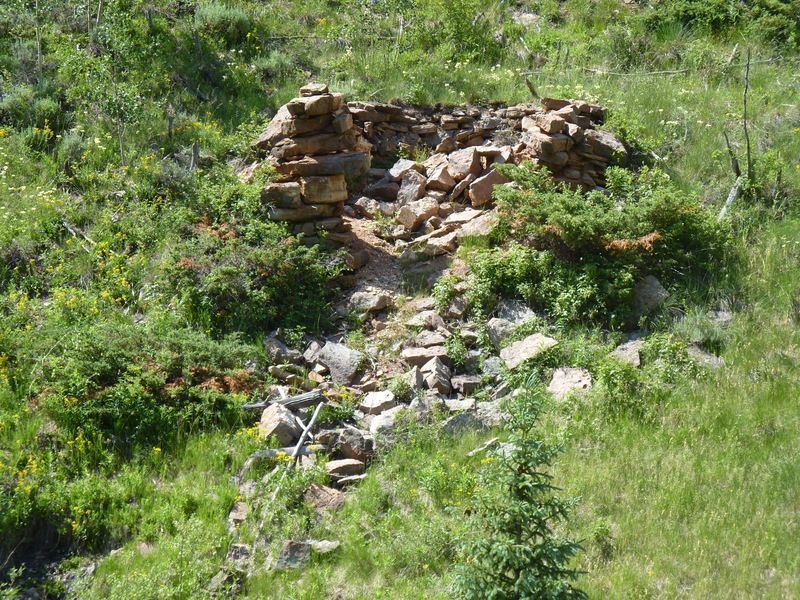
After spending a little time there, we were back on the road. After a few minutes, my buddy Josh called out over the CB asking, "what do you think that stone structure is off to the right?" At first, it didn't look like much.
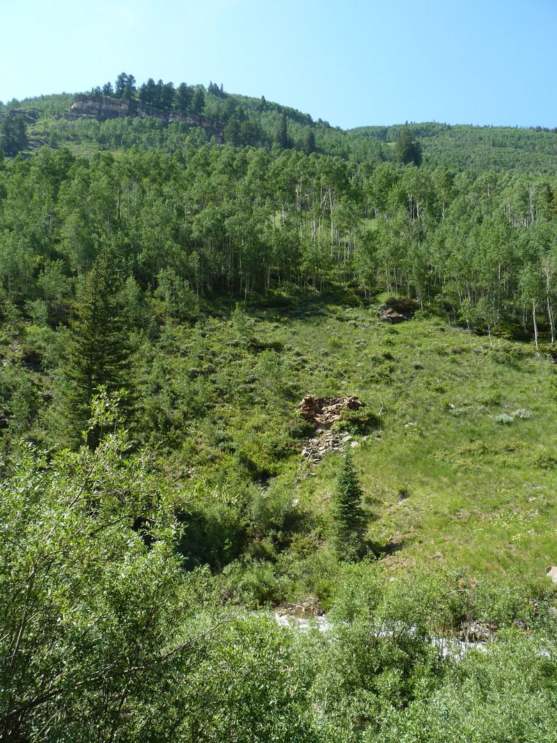
But when I really looked, it appeared to be man made. We have no idea what it was:
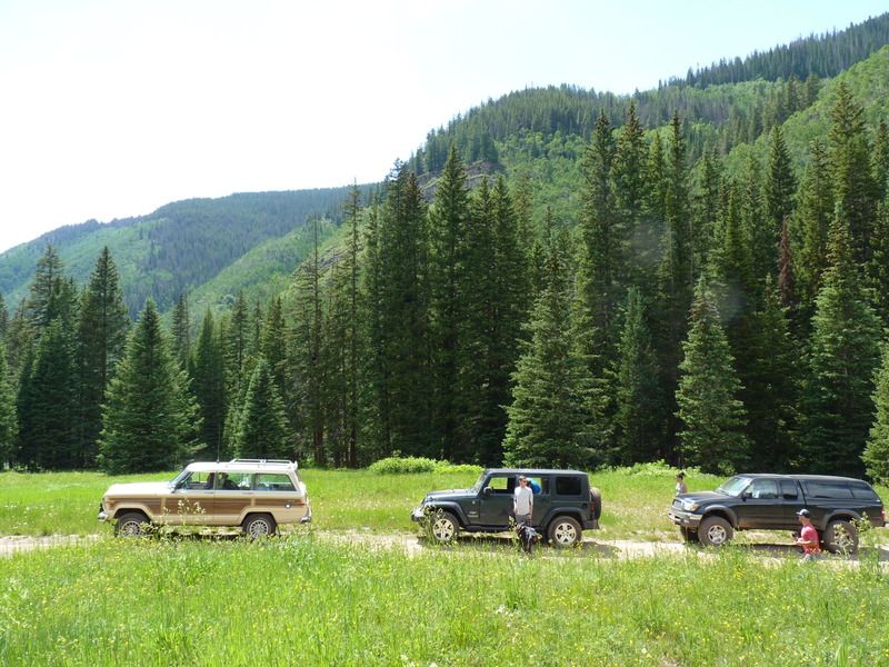
We continued to the trail to McAllister Gulch which, I believe, is part of the old Camp Hale. Camp Hale was the original permanent military base for the 10th Mtn. Division. They used this area for mountain acclimation and training for World War 2. Wikipedia says that after that, in the 1960's the area was used by the CIA to train Tibetan guerilla fighters. The site was chosen because of the similarities of the terrain with the Himalayan Plateau. The Tibetans nicknamed the camp "Dhumra", meaning "The Garden".
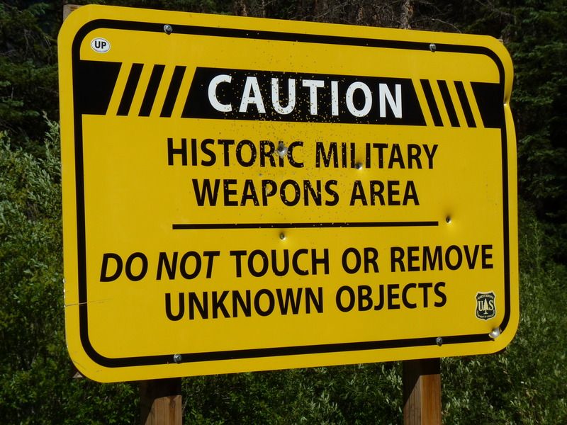
The area is so beautiful, you can't tell that it was part of an artillery range.
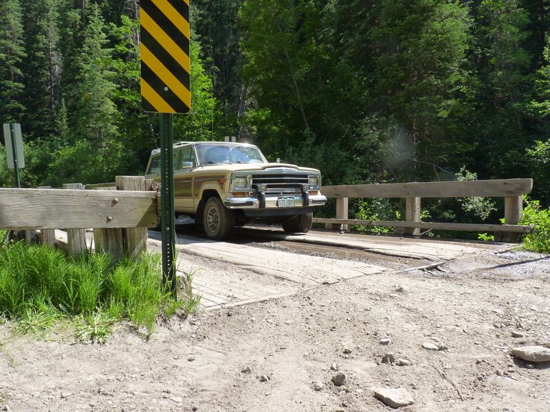
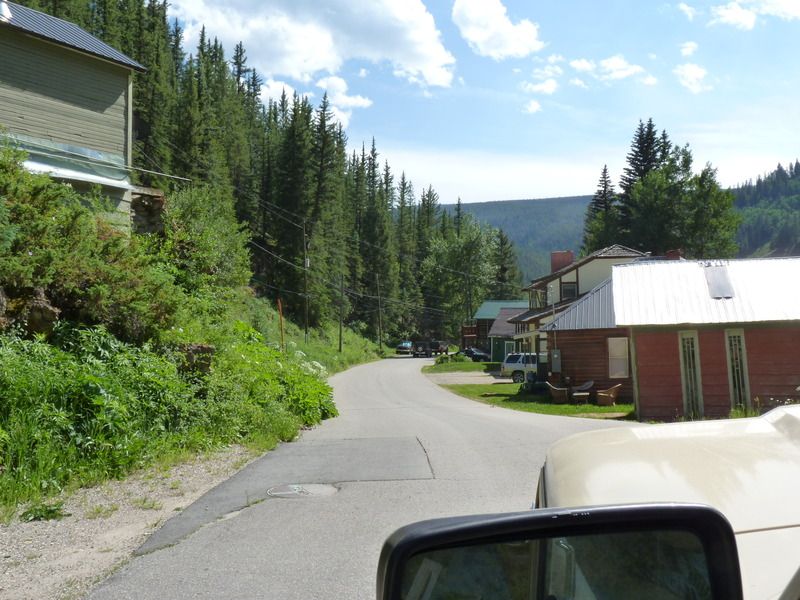
Soon, we rounded a corner and some buildings came into view. We had made it to Red Cliff, Colorado.
That's it for Part 1. More to come tomorrow!

After a half hour or so, we stopped for lunch here:

You couldn't beat the view!

After lunch we continued down the trail. Soon we reached the peak of just over 11,000 ft and began to drop into a lush valley. The view straight ahead was of Mt. Holy Cross most of the way. It was amazing.

As we lost more elevation, the scenery was a mix of Aspen trees, pine and wild flowers. Most of the route ran next to Turkey Creek.

Jeep hood ornament looking cool through the windshield:

After travelling for a number of miles, I spotted an old structure off to the left:

So, we all hopped out to investigate.

It looked like there were a couple old cabin ruins with a two track road leading to them. So, we drove up and took a few pictures.


After spending a little time there, we were back on the road. After a few minutes, my buddy Josh called out over the CB asking, "what do you think that stone structure is off to the right?" At first, it didn't look like much.

But when I really looked, it appeared to be man made. We have no idea what it was:

We continued to the trail to McAllister Gulch which, I believe, is part of the old Camp Hale. Camp Hale was the original permanent military base for the 10th Mtn. Division. They used this area for mountain acclimation and training for World War 2. Wikipedia says that after that, in the 1960's the area was used by the CIA to train Tibetan guerilla fighters. The site was chosen because of the similarities of the terrain with the Himalayan Plateau. The Tibetans nicknamed the camp "Dhumra", meaning "The Garden".


The area is so beautiful, you can't tell that it was part of an artillery range.


Soon, we rounded a corner and some buildings came into view. We had made it to Red Cliff, Colorado.

That's it for Part 1. More to come tomorrow!


